



If you go
Increasing numbers of tourists and hikers continue to visit the solitude and beauty of the remarkable Canyons of the Escalante. Public lands of the area are administered by the National Park Service within Glen Canyon National Recreation Area, the Bureau of Land Management within the Escalante Resource Area and the U.S. Forest Service within the Dixie National Forest.
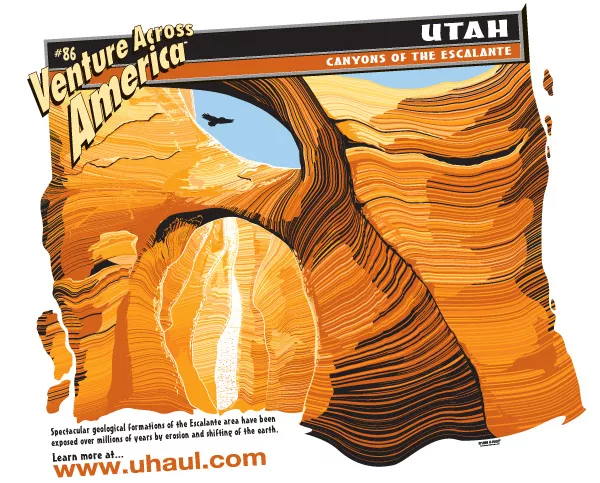
The Canyons of the Escalante can be found approximately 250 miles south of Salt Lake City, between the towns of Boulder and Escalante, Utah . The area which hosts the Canyons of the Escalante is known as the Escalante Basin and is a small part of the Colorado Plateau.
The Escalante Interagency Office Building and Visitor Information Center houses an office for each government agency. To contact the Information Center, call (435) 826-5499. Those interested in visiting the Escalante Canyons are advised to first visit this office at 755 W. Main. That's just west of the town of Escalante on Highway 12. They will give you hiking information and spend time going over the cross-country routes that will take you through the canyons. They also can tell you about current conditions on everything from the weather to insects.
From the town of Escalante or the Interagency Office, take Highway 12 East to Hole-in-the-Rock Road. Follow that road down to the canyons. Hole-in-the-Rock is a 57-mile road of grated dirt and gravel. Several trailheads can be reached by taking this road. The trailheads are marked at their intersections along Hole-in-the-Rock road. They include Harris Wash, Egypt/Twentyfive Mile Wash, Early Weed Bench, Red Well, Coyote Gulch/Hurricane Wash, and Fortymile Ridge.
Whether on foot, bike, ATV or car, those who choose to continue along the Hole-in-the-Rock Road will travel the historic route taken by Mormon settlers in 1879 and 1880 on their journey across the Colorado River. As the road approaches Hole-in-the-Rock in Glen Canyon National Recreation Area the road becomes rather rough and may require 4-wheel drive. Hole-in-the-Rock Road comes to an abrupt end on a cliff overlooking Lake Powell.
There is another way to get to the canyons. You can take a boat east through Lake Powell, passing Oak Canyon, Anasazi Canyon and Ribbon Canyon, before arriving at the Escalante River arm, and taking that north. The problem with this route, however, is that the Escalante River is not very deep. You can only take it a short distance before needing to dock the boat and hike.