



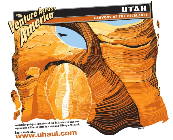
The Escalante River
The Escalante drains nearly 2,000 square miles of remote, largely unsettled Utah backcountry, cutting through soft Navajo sandstone to create more than 50 extreme meanders before emptying into Lake Powell. Erosion throughout the Escalante Basin have fashioned 15 significant natural arches and bridges, eight of which grace canyons that can be gained by boating on and hiking in from lake water. The Escalante Arm extends approximately 18 miles. Campsites are rare along the Escalate River Arm. Fishing is excellent.
The river is surrounded by National Parks, the Escalante River flows slowly in a maze of interconnected, colorful, sandstone canyons. The river is very shallow and begins on the Aquarius Plateau, west of the town of Escalante. Roughly 70 miles later, the river empties into Lake Powell.
The river was named after Spanish explorer and priest, Father Silvestre Velez de Escalante, who accompanied Father Fransisco Atanasia Dominguez on an expedition to find a passable trail from Santa Fe, New Mexico to Monterey, California.